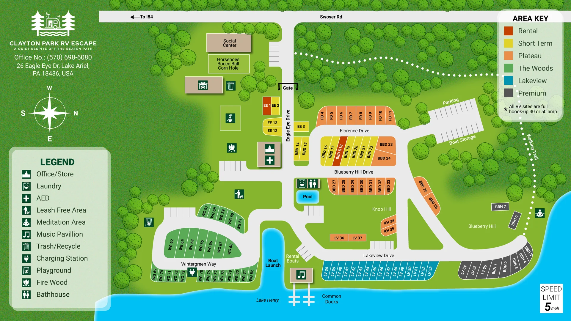
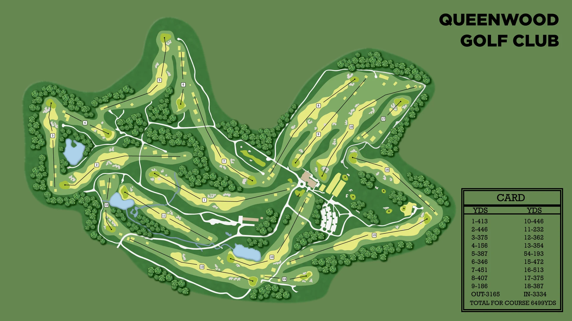
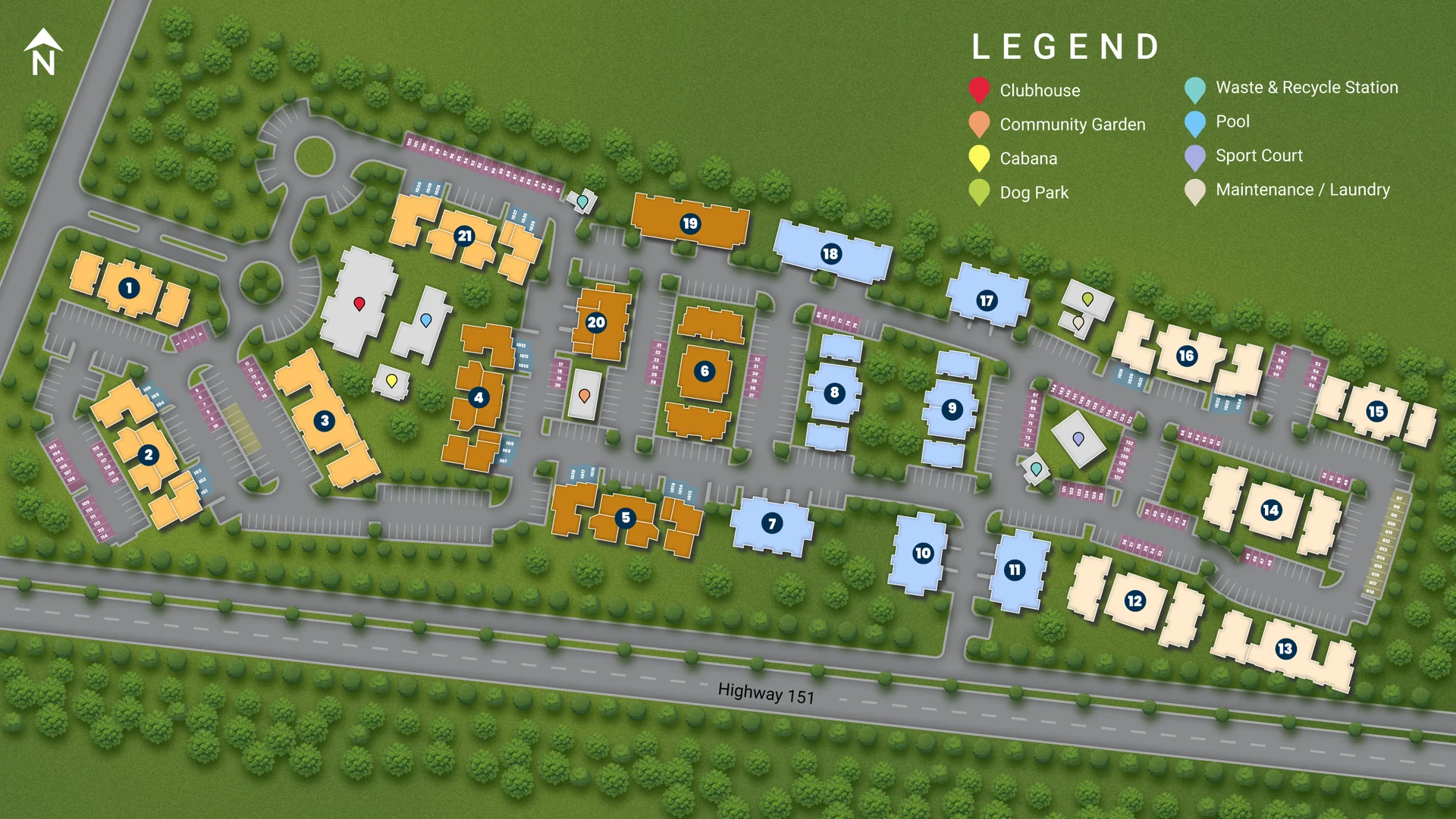
Boat Club Marina Map with Labeled Docks
A top-down marina map with labeled docks, boats in their slips, storage buildings and a watch tower, drawn in a clean illustrated style.
- Type of work
- Marina and boat club map
- Delivered
- Editable vector files
- Made for
- Website, print and signs
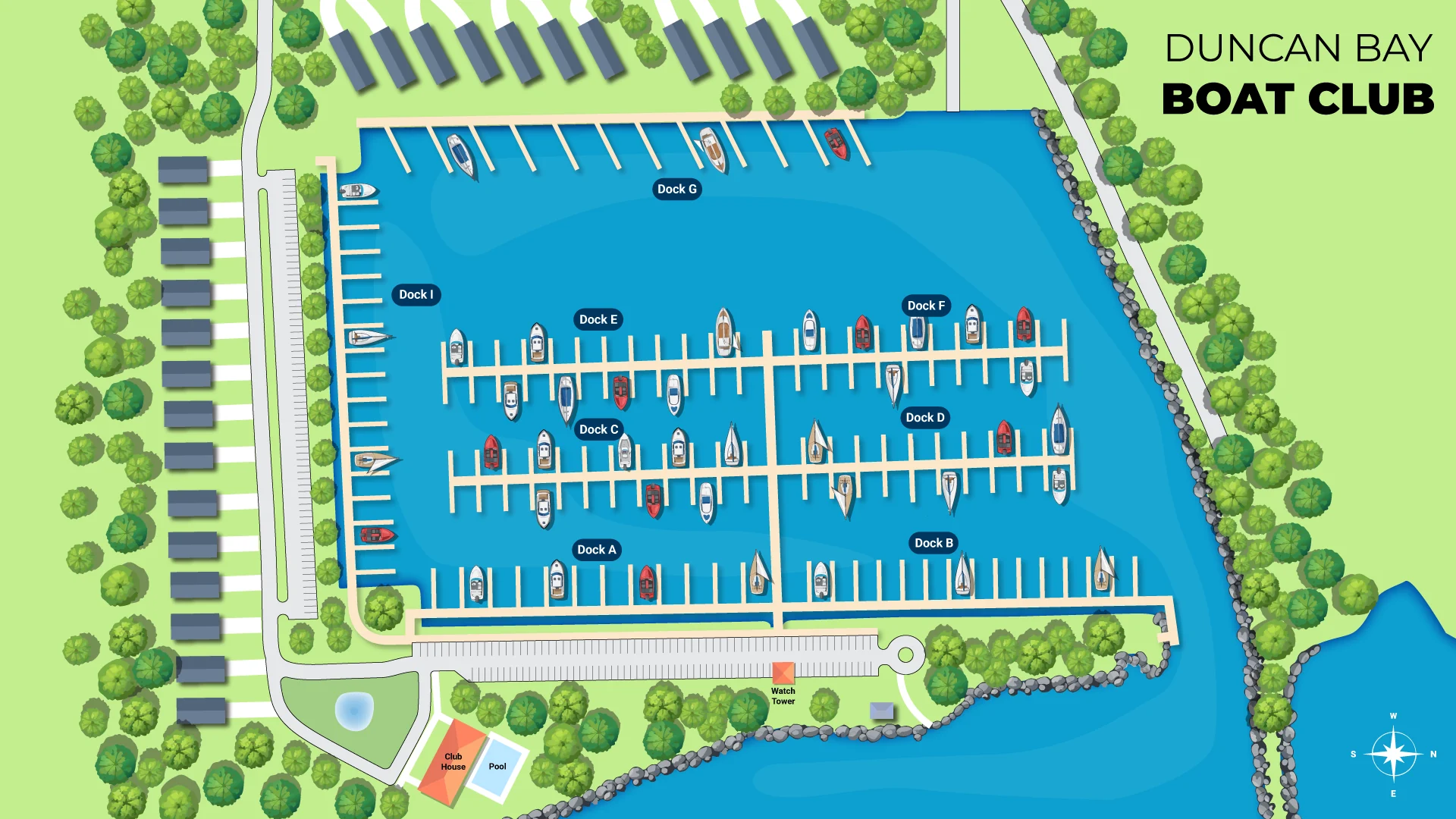
Members and visitors of a boat club need to find a dock, a slip or a building quickly. This map shows the whole marina from above, so each part of the property is easy to recognize.
What is on the map
- Docks drawn with their slips and boats, each dock labeled
- Rows of storage buildings along the shore
- A parking area, a watch tower, a rocky shoreline and trees along the water
- Paths and the surrounding water, drawn in a clean illustrated style
- A compass and the club name in the corner
Where it is used
Marina maps are used on websites, on printed handouts for new members and on signs at the entrance or on the docks.
How a map like this is made
I start from what you already have: a survey, a CAD file, a Google Maps screenshot, an old printed map or a rough sketch. I draw the roads, water, buildings and labels by hand in Adobe Illustrator, then build the legend and key. You review a first draft, and I make the revisions until it is right.
What you receive
Editable vector files you own and can update later, plus print-ready and web-ready versions. Because the map is vector, it stays sharp on a website, a brochure or a large sign.
Need a map for your own property? Send me your details and I will reply with a clear quote and timeline.